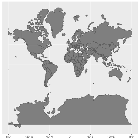
A GIF demonstrating the relationship between the standard Mercator projection of the Earth’s landmasses, and the true size of each country
“I knew intellectually that Africa is way bigger than it’s portrayed on maps but that’s a truly massive difference in scale right there”